
By Onyx Bugett | TalkLife News
October 5, 2026 | Morning edition
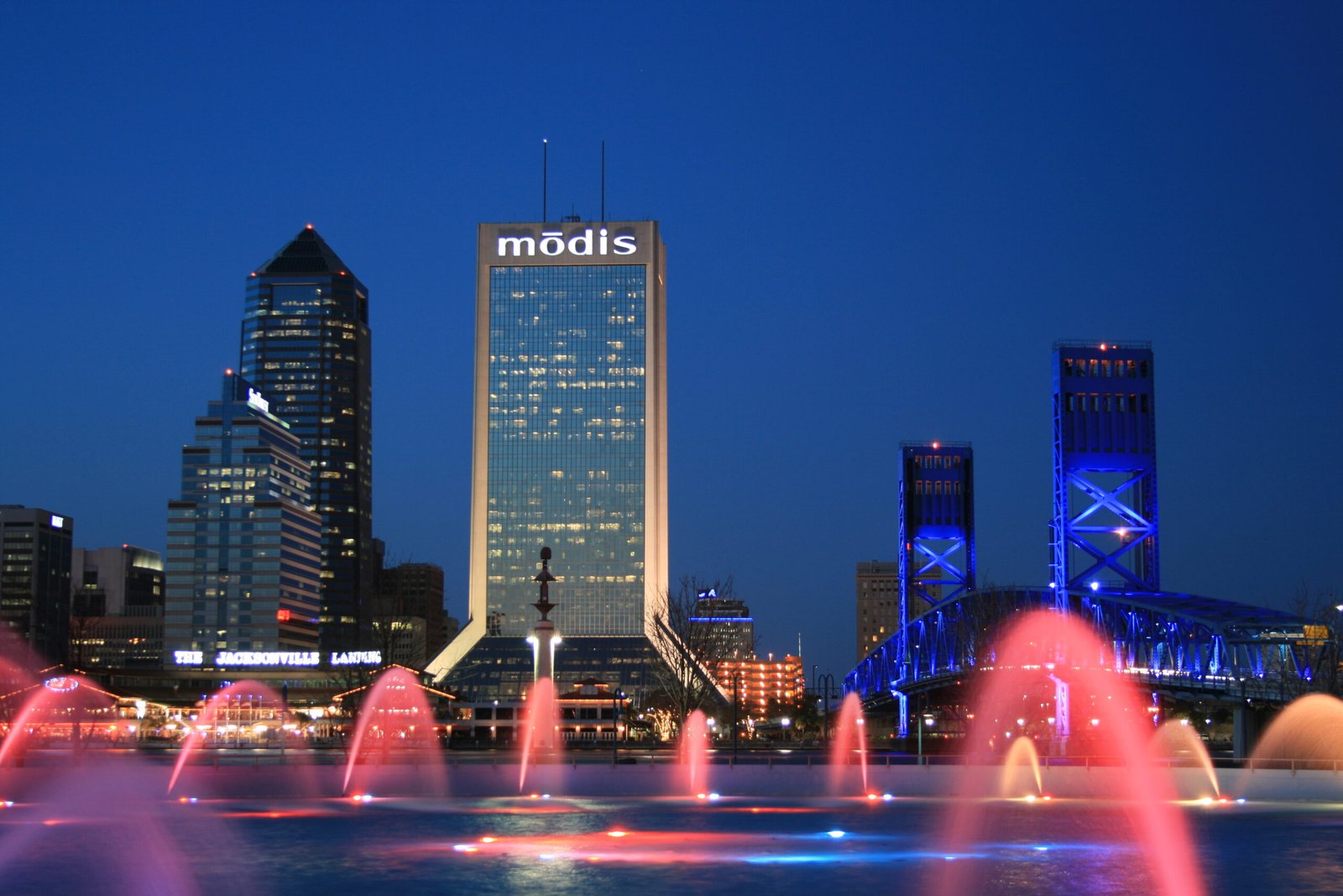

Jacksonville begins Monday, October 5, with a forecast that calls for widespread showers and storms, as a stalled front keeps Northeast Florida in an unsettled weather pattern. The concern is repeated rainfall over the same neighborhoods, which can increase the risk of localized flooding.
In its Sunday-night forecast, News4JAX said Monday would be warm and breezy, with temperatures near 80 degrees. Several inches of rain are possible during the prolonged wet pattern. Coastal hazards include rough surf, a high risk of rip currents and coastal flooding.
Those are forecast risks, not confirmation that every road or neighborhood is flooded. Conditions can differ sharply across the region, particularly when successive storms concentrate rainfall in one location.
For families preparing for school and workers heading out early, the useful step is to check current conditions before leaving and allow extra time if rain slows traffic. Drivers should avoid entering flooded roads. An apparently shallow stretch of water can conceal hazards that are difficult to judge from a vehicle.
Beach plans also deserve another look. Dangerous currents can occur even when conditions on shore seem manageable. Check posted beach warnings and current local advisories before entering the water.
The week’s weather story will depend on where rain accumulates and how coastal conditions develop. Residents can follow the National Weather Service’s Jacksonville office for current alerts alongside updated local forecasts.