
Onyx Bugett | TalkLife News
Updated · October 31, 2026 · Forecast conditions
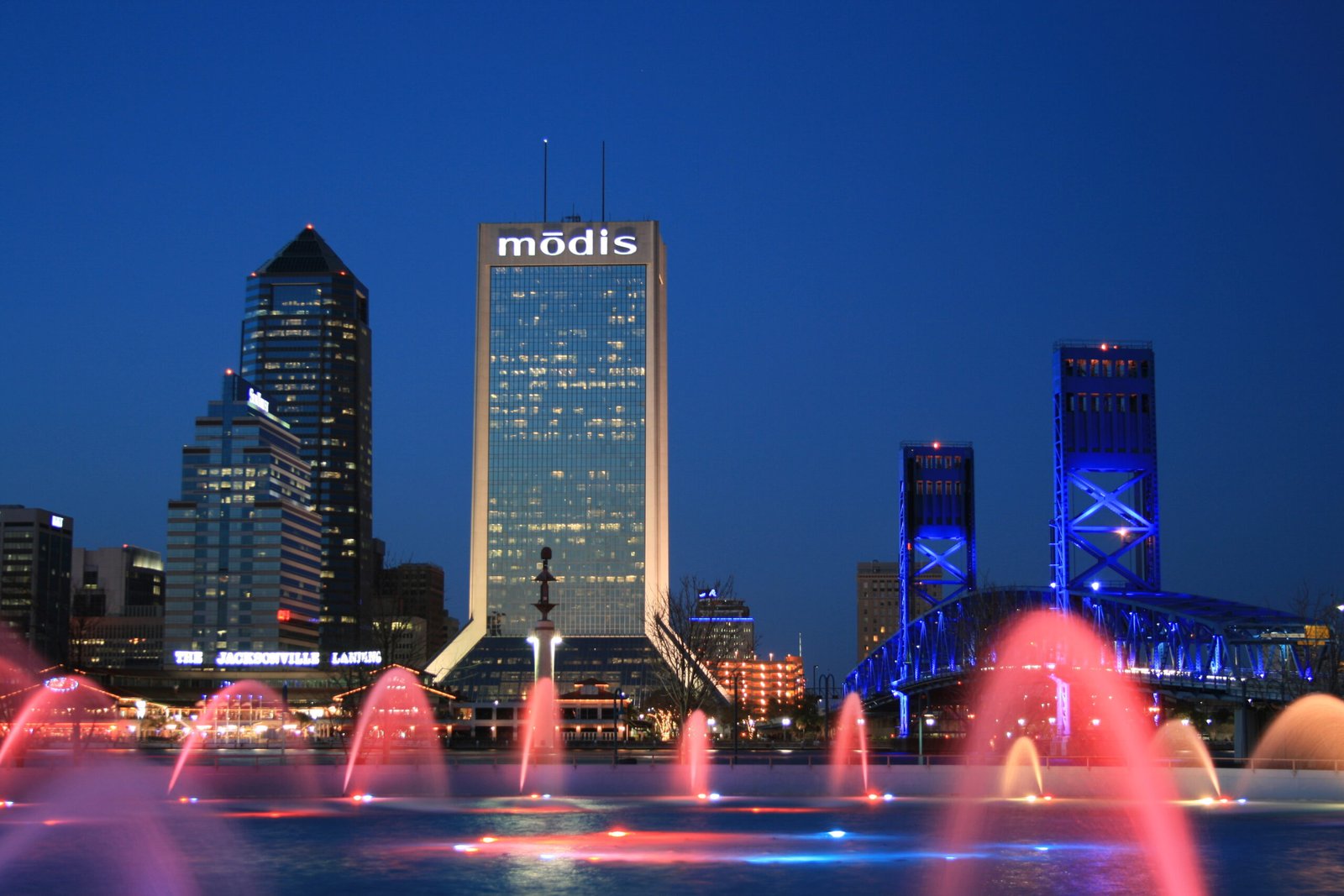

Jacksonville-area residents face another weekend of tidal flooding and dangerous beach conditions, with a new high-surf advisory scheduled to begin at 5 p.m. Eastern Saturday, October 31.
The National Weather Service’s October 31 coastal hazard message forecasts breaking waves of 6 to 8 feet at Northeast Florida beaches. It keeps a high rip-current risk in effect through Sunday evening and coastal flood advisories into Sunday morning for coastal Duval and other listed areas.
Match the alert to the location
The same bulletin lists minor coastal flooding for the Trout River and South Central Duval areas, Eastern Clay, Western St. Johns and Inland Flagler. Expected effects include flooded lots, parks and roads, with isolated road closures.
Eastern Putnam County is under a coastal flood warning for significant flooding, a separate area and level of concern. A Jacksonville resident should not assume that an alert for one part of the river basin describes every nearby property.
The Jacksonville forecast office links the ongoing tidal problems to strong northeasterly winds and high astronomical tides. Its outlook distinguishes river-basin flooding from hazards along the Atlantic coast.
Beach conditions can remain dangerous beyond high tide
The high-surf forecast concerns large breaking waves, while the rip-current statement concerns water moving away from shore. Both matter to anyone considering entering the ocean, even when a nearby street is dry.
The Weather Service advises inexperienced swimmers to stay out of the water because of dangerous surf, and beachgoers to swim near lifeguards. Its guidance for anyone caught in a rip current is to relax and float, avoid fighting the current, and signal for help if unable to escape.
On roads, officials advise against driving through water of unknown depth or around barricades. Allow extra time where flooding may affect a route.
These are official hazard forecasts and alert periods. They do not establish the water level at every address or guarantee that conditions become safe immediately when an alert expires.
Updated October 31, 2026: This replaces the October 29 schedule previously published here. The linked Weather Service products are live and may show later extensions or cancellations. Check the current notice before heading toward the beach or a flood-prone road.