
By Onyx Bugett | TalkLife News
October 11, 2026
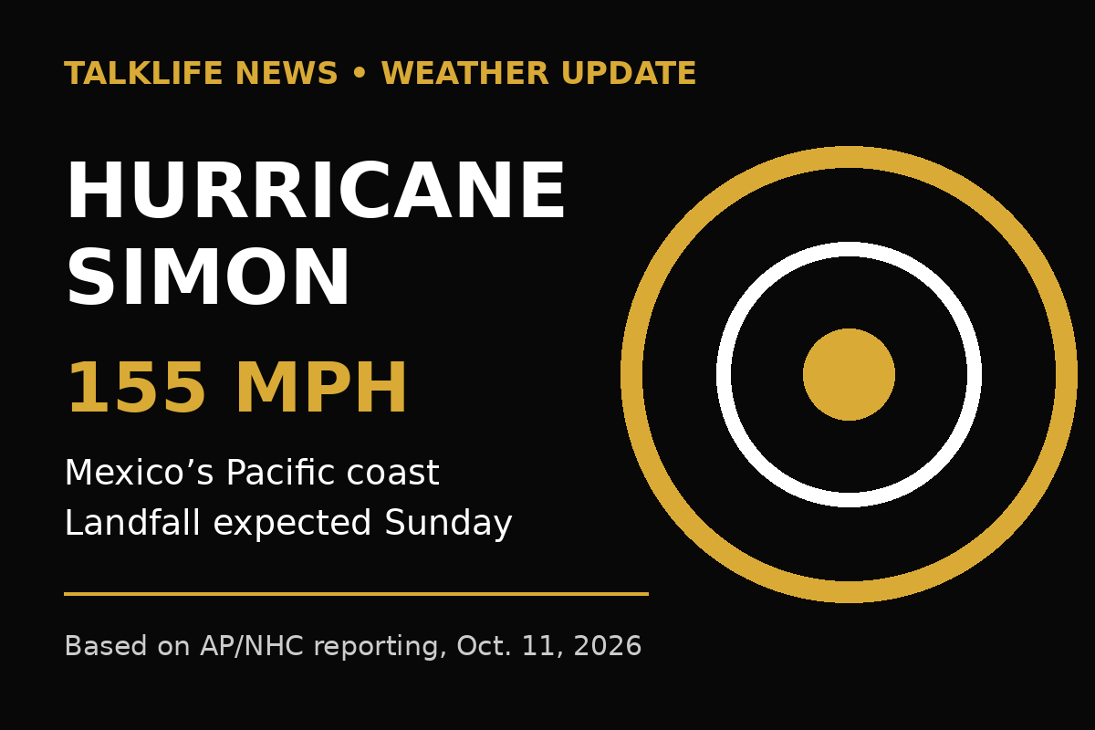
Hurricane Simon intensified overnight to 155 mph as its eye approached Mexico’s Pacific coast, placing the storm just below Category 5 strength and raising the danger of destructive winds, storm surge, flooding and landslides.
Early Sunday, October 11, the storm was about 60 miles west-southwest of Manzanillo and moving north-northwest at 6 mph, according to reporting based on the National Hurricane Center’s advisory. Landfall was expected later Sunday.
This is a material update to TalkLife’s Saturday report, when Simon carried 145 mph winds. The change does not create a new storm, but it sharply increases the urgency for people in the warning area and makes a separate update warranted.
Forecasters said portions of Michoacán, Colima and Jalisco could receive 10 to 20 inches of rain, with isolated totals up to 30 inches. In steep terrain, that amount of water can trigger life-threatening flash flooding and mudslides even beyond the location where the eye crosses the coast.
Jalisco suspended classes in 22 coastal municipalities and began evacuating people from high-risk areas. Hotels and tourism operators in Puerto Vallarta were asked to move workers and visitors into shelters or safe locations.
Wind speed is only one part of hurricane risk. A small change in the track can shift where the strongest winds and surge arrive, while rainfall can affect communities far from the center. People should follow Mexico’s Civil Protection authorities and the National Hurricane Center rather than treating a single map or category number as a complete forecast.
Travelers should confirm their flight directly with the carrier and verify the safety of roads and accommodations at the destination. Anyone already in the affected area should follow local shelter and evacuation instructions.
Forecasts change as new observations arrive. The 155 mph intensity, position and landfall expectation reflect information available early October 11.